THE COMPANY
Prove ourselves as a Service-oriented Company which is dedicated to being on "TIME EVERY TIME" for serving its prestigious clients in their best interests. OUR MISSION

WORD FROM CEO
MESSAGE FROM OUR CEO
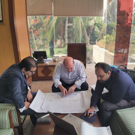
On the behalf of CSMS I am pleased to share that the long term serving staff is our most pertinent resource and the base of good reputation of CSMS. Our investment in thick and thin on our staff enables us to deliver proficiently to our esteemed clients. We believe this policy is our key to success which ultimately benefits our clients.
We cultivate our relationship with clients from scratch to completion; often maintain good terms with the clients’ years after the completion of projects. We believe significant experience, self-belief and latest technology leads to the success. Our company offers technically sound and competitive solutions to our prestigious customers.
I am hopeful & excited for the prosperous future of CSMS.
Engineer Hamid Saeed, CEO
CERTIFICATES


TECHNOLOGY & INNOVATION
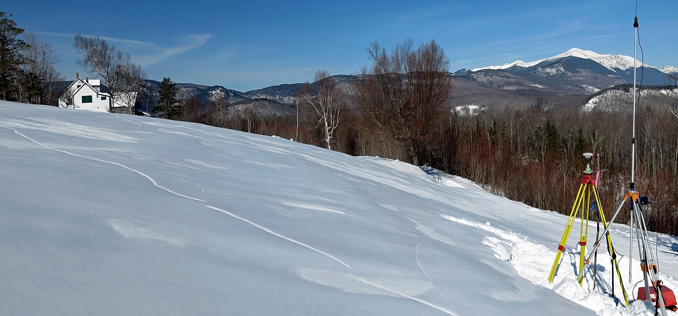
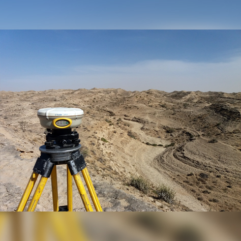
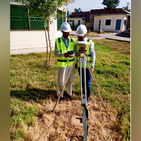
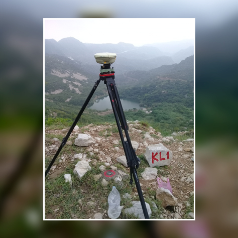
At CSMS, we pride ourselves on our attention to the details. Our Professional Staff uses the very latest technology and innovation to deliver. The outcome is ensured to be accurate estimation and positioning within the exact area of site having taken into consideration all necessary related data.
OUR OPERATIONS
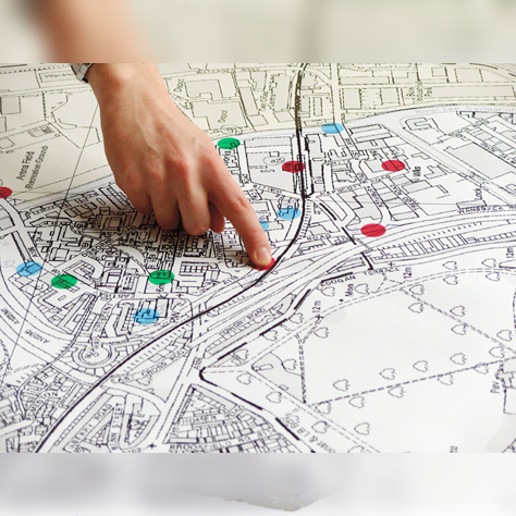
Our Mapping & Data processing department relies on CAD & Database software in the processing of field data. Once the data processing department receives the raw field data, map productions are carried out electronically.
QUALITY CONTROL PROCEDURES
Quality Survey Drawings/Data will lessen the possibility of making costly mistakes at a later stage, as one will be less likely to come across unforeseen problems. One will want to work with an Experienced Surveyor in whom they have complete confidence to deliver to the highest standards and within given time schedule.

1
Ongoing Job Foreign
11
Ongoing Jobs Local
03
Completed Jobs Foreign
174
Completed Jobs Local

76
Satisfied Clients

18
Years Of Experience
SERVICES
CSMS extends their services to the diversified
domains of Survey and Mapping Services

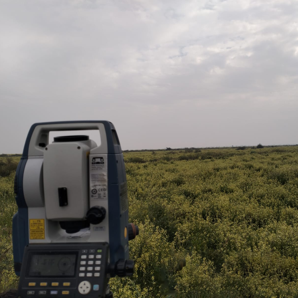
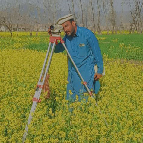
DETAIL ENGINEERING SURVEYS
- Topographic Survey
- Profile Survey
- Construction Layout
- Condition Survey
- Deformation Study
- Highways & Bridges Design Surveys
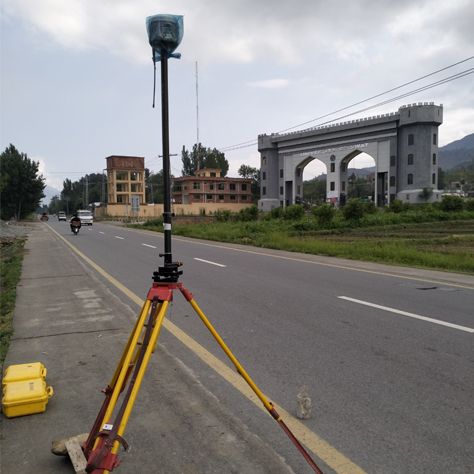
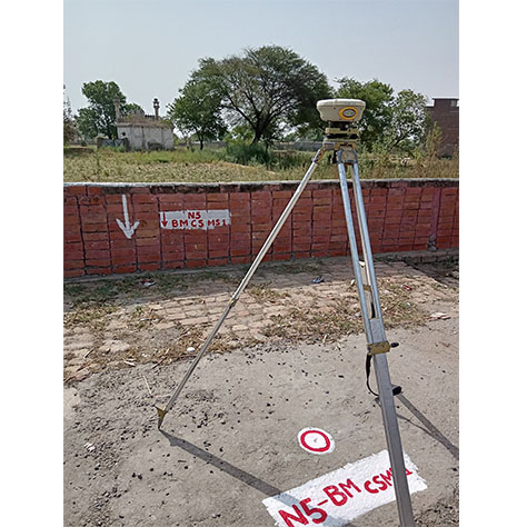
GROUND CONTROL ESTABLISHMENT
- GPS Geodetic Control
- Traverse Survey
- Vertical Control Level
- Precise Leveling
ROUTE SURVEYS
- Road Surveys
- Route and Transmission Lines Alignment
- Rivers Surveys
- Lakes Surveys
- Canals & Drains Surveys
- Pipelines & Corridor Surveys
PROPERTY BOUNDARY SURVEYS
- Parcellyary Survey
- Boundary Relocation Survey
- Demarkation of Routes
- Subdivision Consolidation Survey
- Land Title Registration & Processing
WATER QUALITY SURVEYS
- Collection of Water Samples
- Water Testing & Quality @ Site - Physical
- Water Testing & Quality @ Site - Chemical
- Transportation of Water Samples to Lab for Testing
FIELD DATA COLLECTION
It includes the collection of field data as per the requirment of the project.
GIS & CAD SERVICES
- AM/FM/GIS/LIS Data Capture & Database Creation
- Digital Landbase Creation
- Facility Data (Graphics & Non-Graphics) Capture & its validation and updation
- Map Data Conversion & Digitization
- Preparation of site survey plans
- Computer Re-Draft & Work-order posting to Digital Map Data
QUANTITY ESTIMATION SURVEYS
CSMS provides the services for quantity and volumetric calculations of various types of the material, earth work for roads, canals and quantity of water discharged by streams, river and capacity measurements of reservoirs etc
IMAGE PROCESSING & DIGITIZATION
- Image processing of Satellite Images
- Digitalization of Architectural 3D Models
- Digitization of Ground Cadastre Plans
- Digitalization of Topographic Land Maps
- Digitization of Electrical Lines Network
GEOGRAPHIC INFRORMATION SYSTEM
- Consulting
- Data Analysis & Data Conversion
- Enterprise GIS & Topology Construction
- Address Geo-Coding
- Spatial Analysis
- Attribute Attachment
DIGITAL CARTOGRAPHIC MAPPING
- Utility Mapping Including (Electrical & Transmission Lines etc, Oil & Gas etc)
- City Mapping Including (Cadastral & Topographic etc)
- Enterprise GIS & Topology Construction
- Agricultural Mapping Including (Land Capability & Crop Suitability Evaluation)
- Environmental Mapping including (Land-Use/Land cover, Land Degradation, Environmental Sensitivity Index
REMOTE SENSING
- Digital Image Processing
- Contour Extraction
- Digital Image & Photogrammetry Processing
- GIS Integration
- Image Geo-referencing
- 3D Model Generation
- Aster/ SRTM Data Processing
- DEM/ TIN generation
- Ground Truthing
- Ortho Photo generation
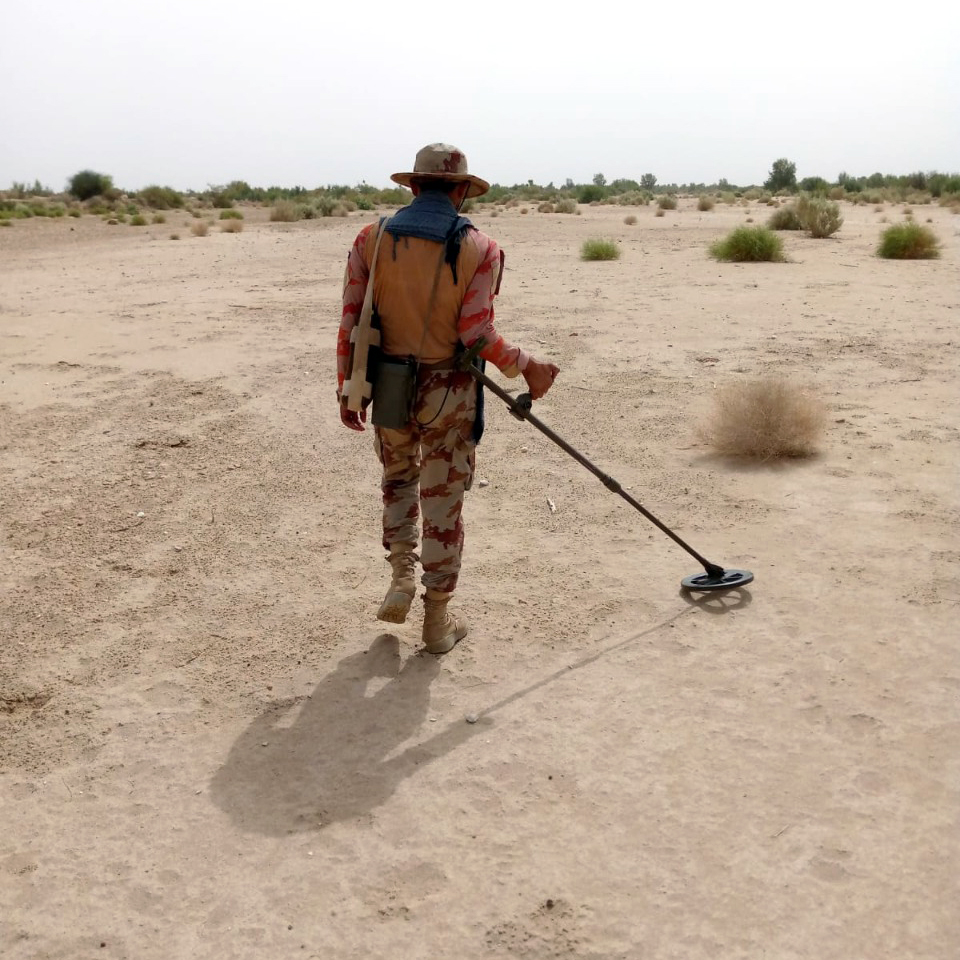
PERIODIC INSPECTION OF DAMS
- As Movement Monitoring
- Survey Expert our
- Chief Executive worked on
- Various Dams & Hydropower Projects
SOCIAL
SURVEY
- CSMS Conducts Social Survey
- In The Diversified Fields
- Of Social Sector
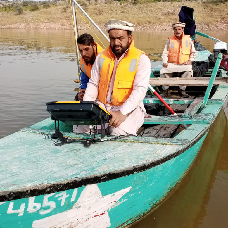
HYDROGRAPIC &
BATHYMETRIC SURVEY
- Bathymetric Survey
- Hydrographic Survey
- Detailed Engineering Survey
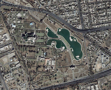
CADASTRAL MAPPING
SURVEY
- Collection of Cadastral Data
- Ownership Verification of Land Record
- Verification of Location & Property Boundary Demarcation
ON-GOING PROJECTS INTERNATIONAL (FOREIGN)
SEPTEMBER 2023
ON-GOING PROJECTS NATIONAL (LOCAL)

FEBRUARY 2024


DECEMBER 2023